
GeoResources
The following items will help you learn more about our company.
Gallery
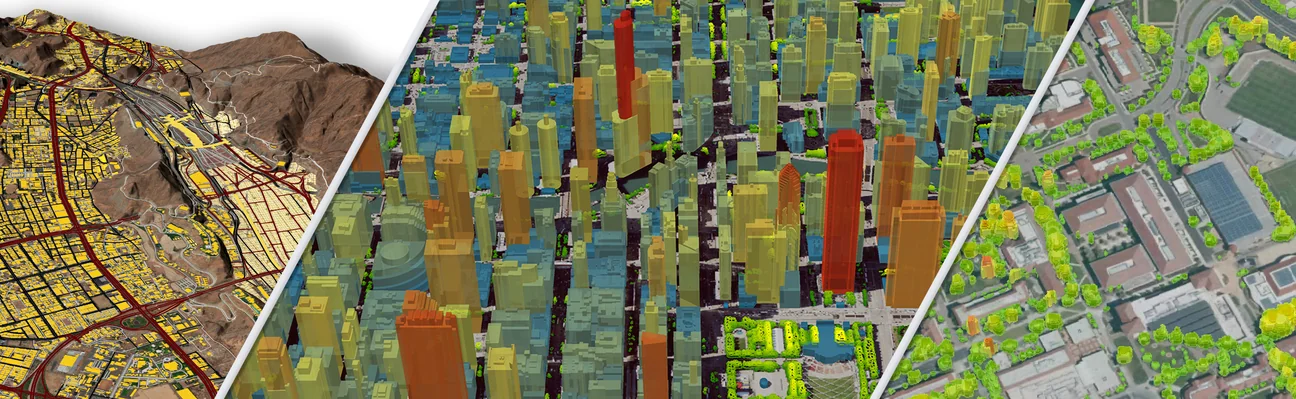
Gallery of actual LAND INFO aerial, satellite imagery and digital map data projects.
Downloads
Various downloads including Wallpapers, .pdfs of articles and our complete Geodata Catalog.