
Custom Mapping Services
Classification and Object Based Image Analysis
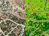
Spectral classification and Object Based Image Analysis: land-use/land-cover, trees/vegetation, hydrology, impervious surface and change detection mapping. Combine with high resolution DEM data to add building and tree heights.
Vector Feature Extraction from Satellite Imagery
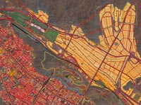
Custom vector feature extraction from high-resolution satellite imagery or aerial photography: building footprints, individual trees with contoured crowns, roads, railroads, bridges, airports, hydrology & coastlines.
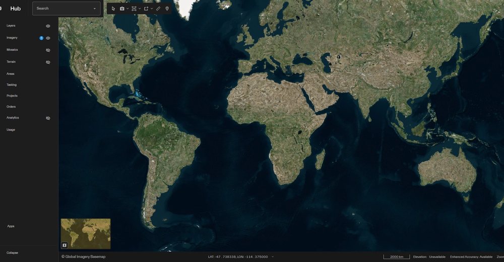
Vantor Hub Global High-Resolution Satellite Imagery Subscription Platform
USGS 3DEP LiDAR: Query/Order/Stream
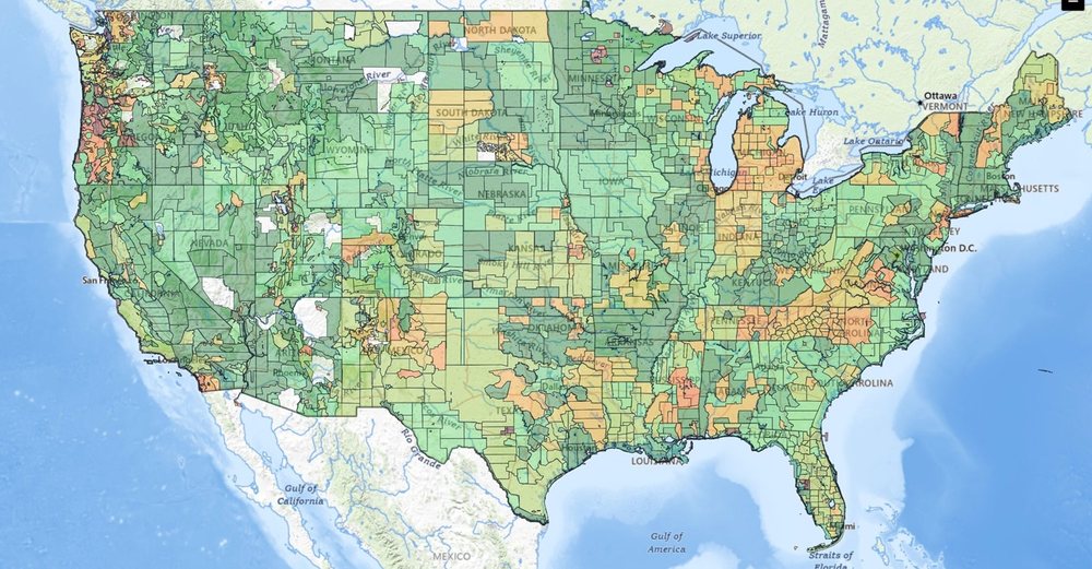
Vector Feature Extraction from Topographic Maps
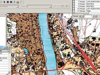
Custom vector feature extraction from topographic maps and nautical charts: contours/bathymetry, roads, railroads, bridges, airports and other infrastructure, hydrology, coastlines, administrative boundaries, settlements and buildings.
Rubbersheeting/GeoReferencing
Custom Scanning
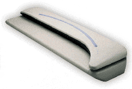
Custom Large-Format Color & Grey-Scale Scanning and Geo-Referencing – LAND INFO can scan virtually any paper topographic map or other large-format document as large as 54 inches in width.