Custom Mapping Services
Vector Feature Extraction from Satellite Imagery
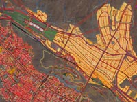
Vector feature extraction from satellite imagery or aerial photography Custom vector feature extraction from high-resolution satellite imagery or aerial photography: roads, railroads, bridges, airports, hydrology, coastlines and building footprints.
Vector Feature Extraction from Topographic Maps
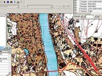
Vector Feature Extraction from Topographic Maps Custom vector feature extraction from topographic maps and nautical charts: contours/bathymetry, roads, railroads, bridges, airports and other infrastructure, hydrology, coastlines, administrative boundaries, settlements and buildings.
Classification and Object Based Image Analysis
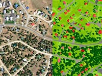
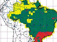
Spectral classification and Object Based Image Analysis Spectral classification and Object Based Image Analysis: land-use/land-cover, vegetation, hydrology, impervious surface and change detection mapping. Combine with high resolution DEM data to add building and tree heights.
Rubbersheeting/GeoReferencing
Custom geo-referencing, rubbersheeting, metadata and index creation Custom geo-referencing, rubbersheeting, metadata and index creation.

