Downloads
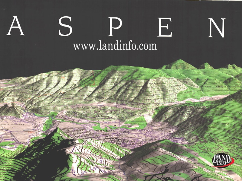
LANDinfo Tree Mapping

GEOINT Solutions Showcase: Visualization/ Simulation
Powering Applications with Map Data Layers Extracted from Satellite Imagery:
View the PDF: Powering Applications with Map Data Layers Extracted from Satellite Imagery

Fast Forward to 5G
Mapping the Future for 5G
View the PDF:
POB Article- 5G Network Wireless GIS and map data solutions for the Telecommunications Industry

Meaningful Mapping
World Bank and National Geographic Society Projects in Sri Lanka & Dubai
View the PDF:
Meaningful Mapping – World Bank and National Geographic Society Projects in Sri Lanka & Dubai

Buying Optical Satellite Imagery
The Top 10 Things to Consider:
View the PDF:
Buying Optical Satellite Imagery –
The Top 10 Things to Consider


Global Geodata Catalog
Global Geodata Catalog:
Access Individual Country PDF files
Access Individual Country PDF files
View Entire Catalog PDF:
LAND INFO GeoData Catalog_BM.pdf