Aerial Derived Premium Geodata for Wireless Telco

The Detail & Accuracy You Require for Optimal 5G & Fixed Wireless Access (FWA) RF Planning/Engineering
LAND INFO has been creating geodata solutions for wireless communications since 1996.
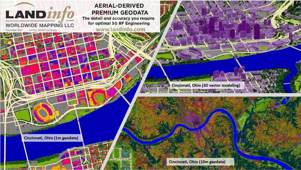
A pioneer in the use of cutting-edge Object-Based and Artificial Intelligence technologies, we have perfected high-quality models and are scaled to rapidly produce large areas.
For multiple nation-wide operators we’ve created over 100,000 km2 of 1m datasets for mid-band and high-band 5G, coupled with cost-effective 5m solutions and USA country-wide 10m geodata for low-band 5G. Through extensive R&D, we’ve developed new geodata layer types to support the demanding needs of 5G.
Our 26 years of experience make us uniquely qualified to create real-world simulations with the accuracy and detail needed for optimal 5G and FWA RF planning/engineering. Our solutions support additional demanding applications such as overhead line encroachment vegetation management, forestry, solar potential energy mapping, wildfire risk analysis/mitigation and stormwater billing.
As the only major provider to extensively use aerial source data, our geodata has unique advantages versus a satellite-only approach.
Clutter (land use/land cover) generated from higher resolution multispectral imagery, to accurately capture detail and distinguish classes
100% leaf-on imagery for the best tree mapping results, including contouring (multiple levels of vector polygons for true 3d tree representation)
Imagery of large areas (metros and larger) captured over short timeframes gives consistent seasonality for improved classification
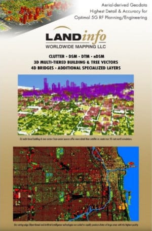
3d multi-tiered building and contoured tree vectors produced from higher resolution elevation inputs to best simulate real-world fine detail, including small roof features, all with higher accuracy
Nadir (looking straight down) imagery to map features in complex urban environments
Please contact LAND INFO to request additional information on our geo-data products and how they can help you bid, plan, design, model and optimize your wireless networks; or to inquire about a specific area of interest.


