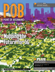
February 2019
Land Info has been providing market intelligence to help support telco companies in their preparation for emerging 5G rollouts across the U.S.
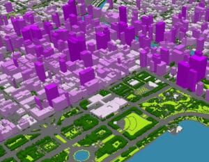
Using aerial data and object-based image analysis (OBIA) technology, Land Info has been producing both 3D building and tree vectors and 1-meter resolution land-cover classifications of metropolitan areas.
Read the full article: Fast Forward to 5G-Three-dimensional city models are providing infrastructure intelligence in the race for network coverage. (Article courtesy of Point of Beginning e-Magazine)
LAND INFO offers Premium Geodata Solutions for Optimal RF Planning/Engineering of 5G, FWA (Fixed Wireless Access) and Other
High Frequency Network development. Learn More
5G Network Wireless GIS and map data solutions for the Telecommunications Industry.


